EGU 2016 poster: Soil moisture mapping at Bubnow Wetland using L-band radiometer (ELBARA III)
Mateusz Łukowski1, Mike Schwank2, Radosław Szlązak1, Andreas Wiesmann2, Wojciech Marczewski3, Bogusław Usowicz1, Jerzy Usowicz4, Edyta Rojek1, Charles Werner2 and Łukasz Gluba1

Abstract
The study of soil moisture is a scientific challenge. Not only because of large diversity of soils and differences in their water content, but also due to the difficulty of measuring, especially in large scale. On this field of interest several methods to determine the content of water in soil exists. The basic and referential is gravimetric method, which is accurate, but suitable only for small spatial scales and time-consuming. Indirect methods are faster, but need to be validated, for example those based on dielectric properties of materials (e.g. time domain reflectometry – TDR) or made from distance (remote), like brightness temperature measurements. Remote sensing of soil moisture can be performed locally (from towers, drones, planes etc.) or globally (satellites). These techniques can complement and help to verify different models and assumptions. In our studies, we applied spatial statistics to local soil moisture mapping using ELBARA III (ESA L-band radiometer, 1.4 GHz) mounted on tower (6.5 meter height). Our measurements were carried out in natural Bubnow Wetland, near Polesie National Park (Eastern Poland), during spring time. This test-site had been selected because it is representative for one of the biggest wetlands in Europe (1400 km2), called “Western Polesie”, localized in Ukraine, Poland and Belarus. We have investigated Bubnow for almost decade, using meteorological and soil moisture stations, conducting campaigns of hand-held measurements and collecting soil samples. Now, due to the possibility of rotation at different incidence angles (as in previous ELBARA systems) and the new azimuth tracking capabilities, we obtained brightness temperature data not only at different distances from the tower, but also around it, in footprints containing different vegetation and soil types.
During experiment we collected data at area about 450 m2 by rotating ELBARA’s antenna 5-175° in horizontal and 30-70° in vertical plane. This type of approach allows combining multiple independent measurements (performed nearly simultaneously) to one consistent soil moisture map. Spatial statistics helps with correcting blind spots or distortions causes by assembly elements, especially on corners of ELBARA’s tower. Moreover, using this technique we can observe distribution of soil moisture with time dependency. In order to validate our data, the results were compared with measurements obtained by means of the TDR method. The presented approach enables better understanding the soil moisture spatial distribution over a particular local area of interests, before extending soil water assessments on larger areas.
Additional information:
Weather information form agrometeorogical station

Full azimuth scan (0-355°) for elevations 30-90° at different day times at 22th march 2016. Click name of scan for see big image with charts of all measurements.
Note that, there was a some precipitation between morning and noon scan.

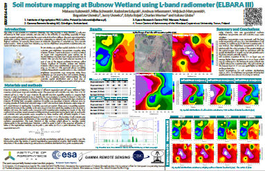
Full version of poster, click on image to enlarge or download PDF version